High Sierra Nevada
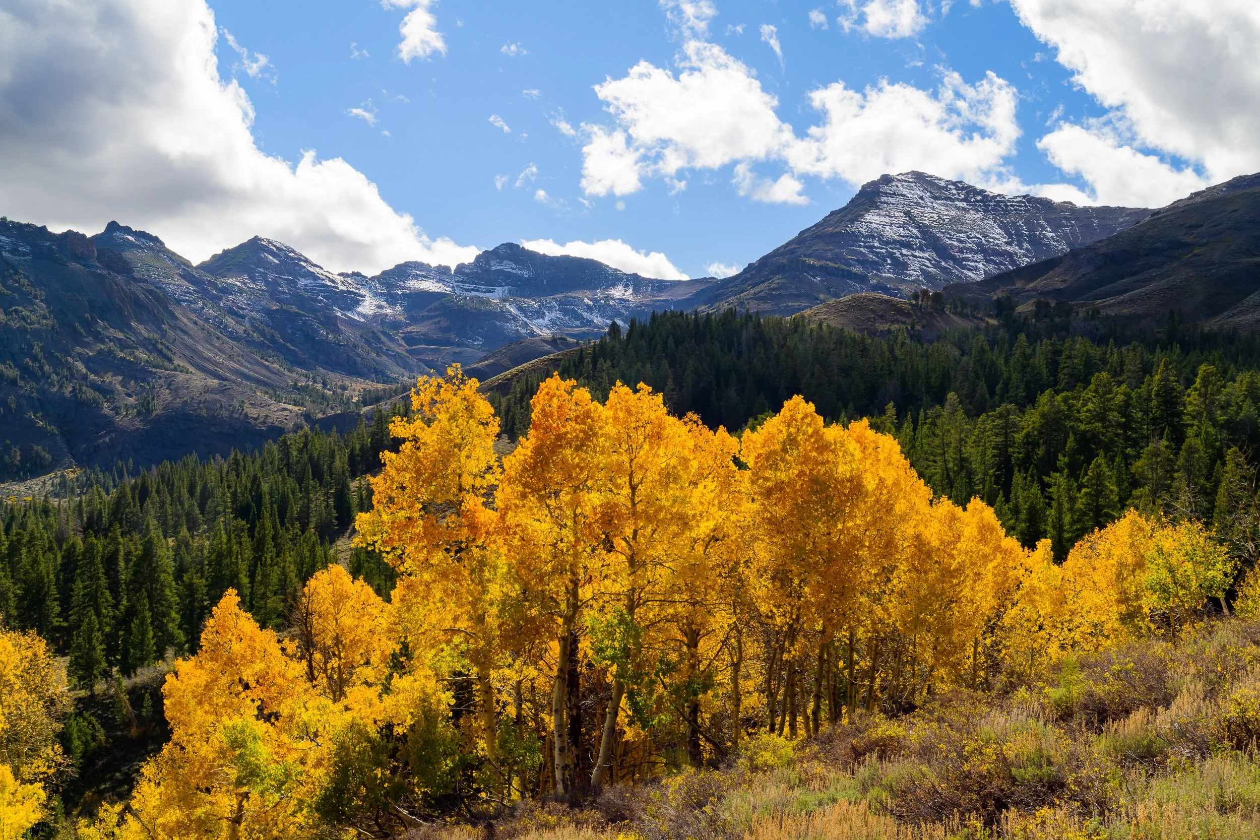
I define High Sierra Nevada as the rugged alpine zone that hugs the crest of California's Sierra Nevada mountain range. This expansive corridor extends for over 250 linear miles—from just north of the Mojave Desert to the southern edge of the Cascade Range—encompassing some of the most iconic high-elevation terrain in the western United States. It includes significant portions of the Inyo and Humboldt-Toiyabe National Forests, as well as Sequoia, Kings Canyon, and Yosemite National Parks, and the Tahoe Basin.
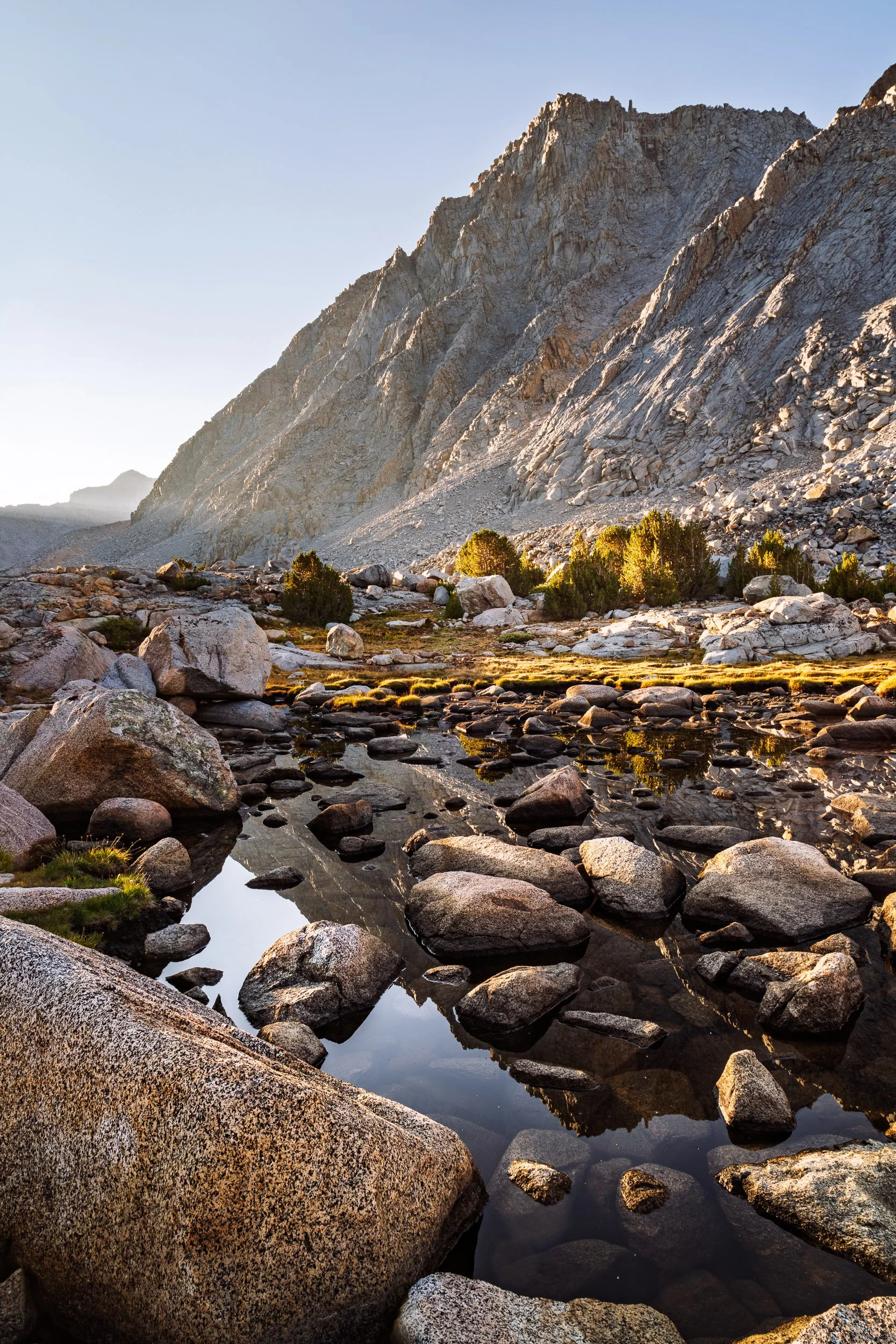
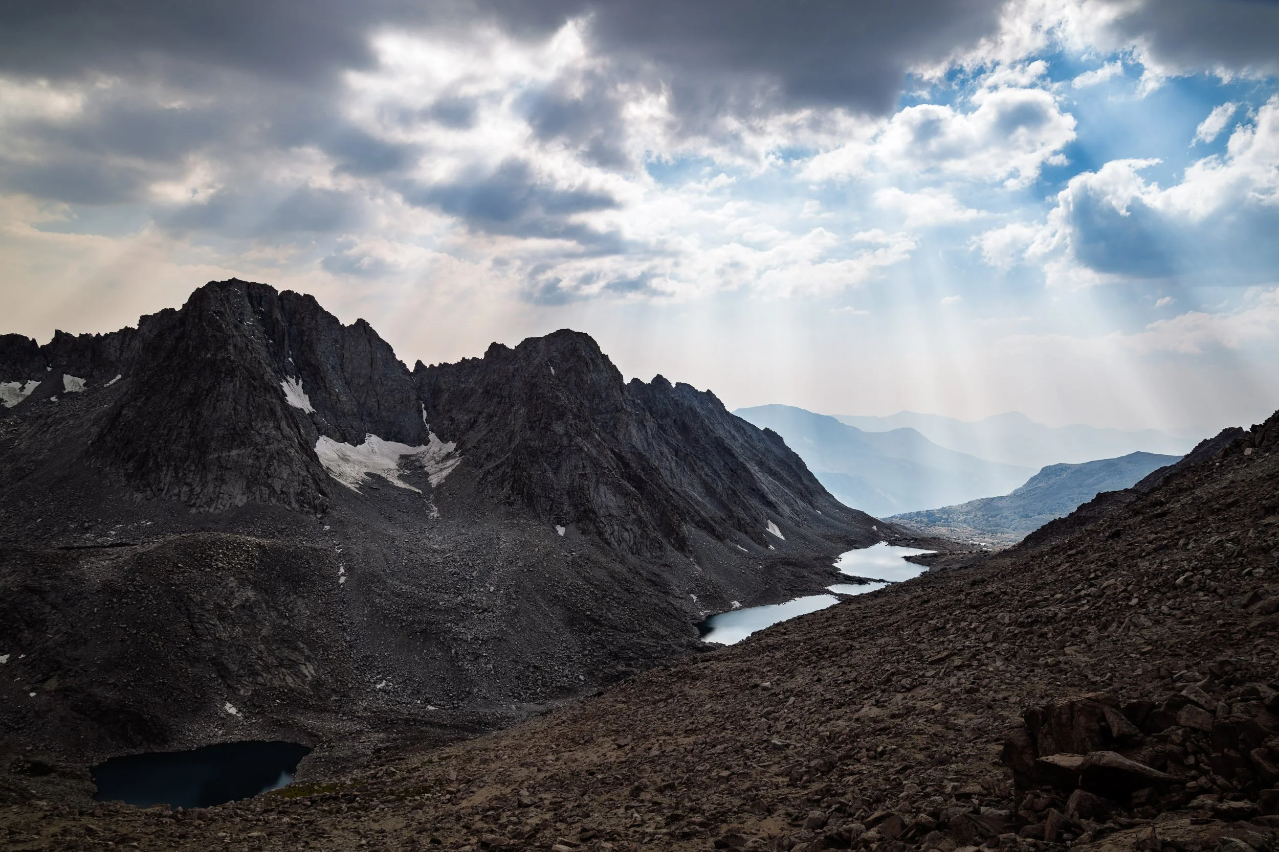
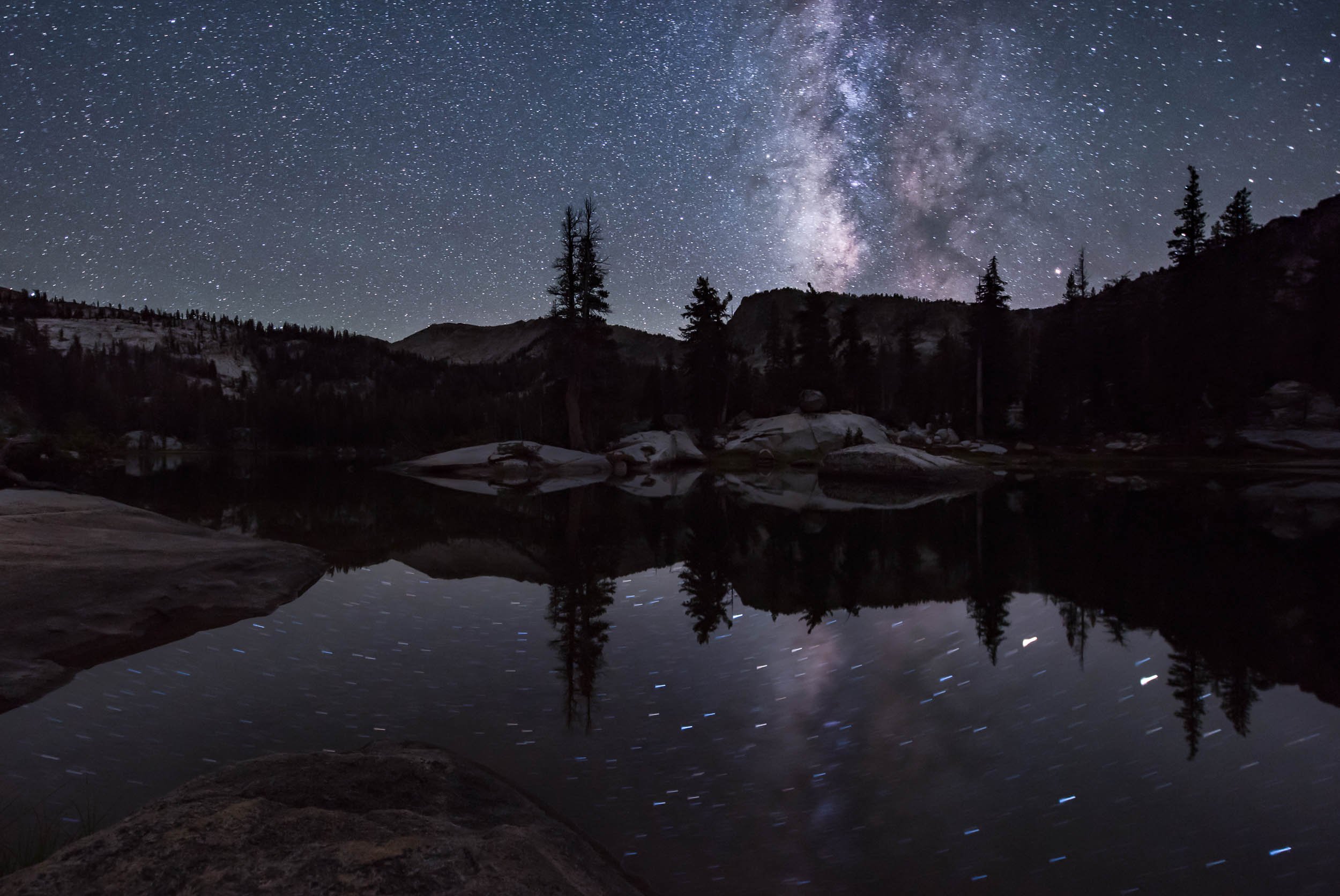
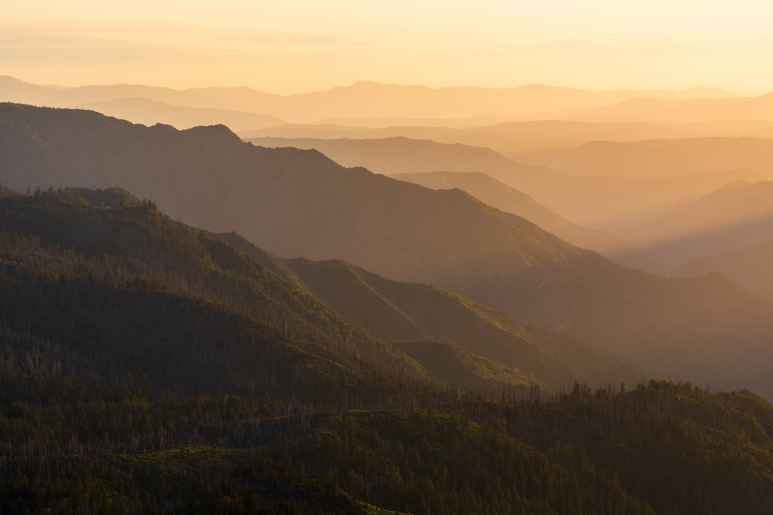
Characterized by soaring granite spires, glacially carved basins, sparse—often stunted—trees, and alpine meadows, the High Sierra offers a raw, elemental landscape. Much of it lies above 8,000 feet in elevation, and many locations are accessible only by foot, often requiring multi-day wilderness travel far from the nearest road. The photos featured here reflect that remoteness—captured in quiet moments deep in the backcountry where solitude reigns and nature remains largely untouched.
“The mountains are calling, and I must go.”
— John Muir